


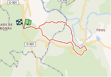

12,5 km | 15,3 km-effort

Benutzer


Kostenlosegpshiking-Anwendung
 SityTrail
IGN / Geografische Institute
SityTrail World
Die Welt öffnet sich für Sie
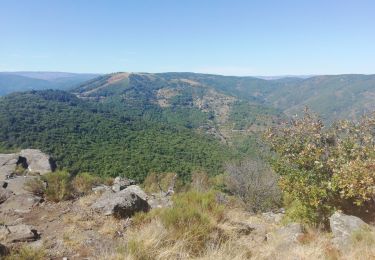
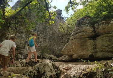
Tour Wandern von 8 km verfügbar auf Auvergne-Rhone-Alpen, Ardèche, Les Vans. Diese Tour wird von ganinette vorgeschlagen.
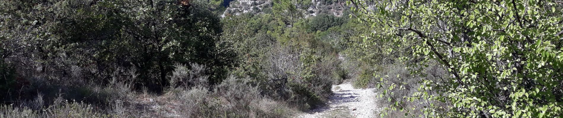
une parti de la rando longe les corniches du chassezac avec un très beau
point de vue.
Randonneurs sujet au vertige s'abtenir.


Wandern
Wandern

Wandern
Wandern
Wandern
Wandern

Wandern

Wandern

Mountainbike